|
Brimsdown
King George's South Reservoir |
 |
Click to enlarge - Cliquer pour agrandir |
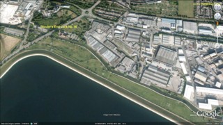
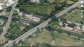
The Lee Navigation seen by Google Earth.
|
| La Lee Canalisée vue par Google Earth. |
05-05-2008
Click to enlarge - Cliquer pour agrandir |
12-10-2009
Click to enlarge - Cliquer pour agrandir |
|
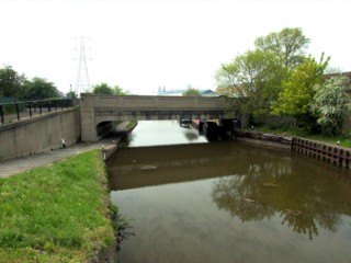
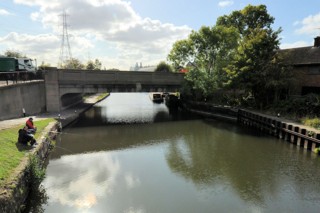
Wharf Road Bridge No.33 seen from Ponder's End Lock No.14. |
Le Pont n°33 de la Wharf Road vu de l'Ecluse n°14 de Ponder's End. |
Click to enlarge - Cliquer pour agrandir |
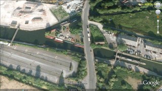
Wharf Road Bridge No.33 seen by Google Earth.
|
| Le Pont n°33 de la Wharf Road vu par Google Earth. |
05-05-2008
Click to enlarge - Cliquer pour agrandir |
12-10-2009

Click to enlarge - Cliquer pour agrandir |
|
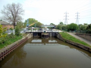
Ponder's End Lock No.14 seen from Wharf Road Bridge No.33. |
L'Ecluse n°14 de Ponder's End vue du Pont n°33 de la Wharf Road. |
05-05-2008
Click to enlarge - Cliquer pour agrandir |
12-10-2009
Click to enlarge - Cliquer pour agrandir |
|
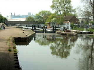
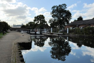
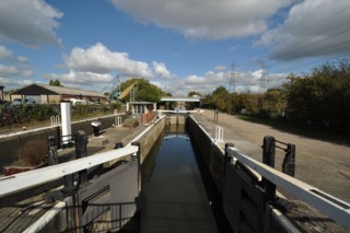
Ponder's End Lock No.14 seen from the North. |
L'Ecluse n°14 de Ponder's End vue du Nord. |
05-05-2008
Click to enlarge - Cliquer pour agrandir |
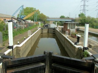
Ponder's End West Lock No.14.
|
| L'Ecluse Ouest n°14 de Ponder's End. |
12-10-2009
Click to enlarge - Cliquer pour agrandir |
Ponder's End East Lock No.14.
|
| L'Ecluse Est n°14 de Ponder's End. |
Click to enlarge - Cliquer pour agrandir |
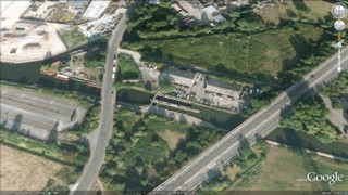
Ponder's End Lock No.14 seen by Google Earth.
|
| L'Ecluse n°14 de Ponder's End vue par Google Earth. |
12-10-2009
Click to enlarge - Cliquer pour agrandir |
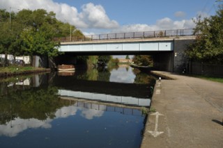
Lea Valley Road Bridge No.35 seen from the South.
|
| Le Pont n°35 de la Lea Valley Road vu du Sud. |
12-10-2009
Click to enlarge - Cliquer pour agrandir |
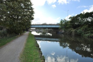
Lea Valley Road Bridge No.35 seen from the North.
|
| Le Pont n°35 de la Lea Valley Road vu du Nord. |
Click to enlarge - Cliquer pour agrandir |
Lea Valley Road Bridge No.35 seen by Google Earth.
|
| Le Pont n°35 de la Lea Valley Road vu par Google Earth. |
12-10-2009
Click to enlarge - Cliquer pour agrandir |
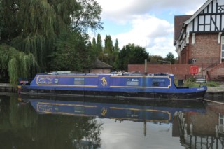
Mooring to the North of Lea Valley Road Bridge No.35.
|
| Amarrage au Nord du Pont n°35 de la Lea Valley Road. |
05-05-2008
Click to enlarge - Cliquer pour agrandir |
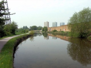
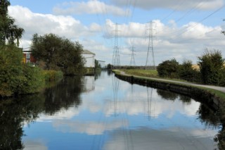
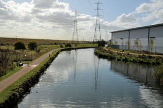
Looking to the South, the Lee Navigation to the North of Lea Valley Road Bridge No.35.
|
| Les regards portés vers le Sud, la Lee Canalisée au Nord du Pont n°35 de la Lea Valley Road. |
05-05-2008
Click to enlarge - Cliquer pour agrandir |
12-10-2009
Click to enlarge - Cliquer pour agrandir |
|
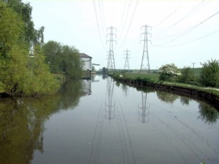
Looking to the North, the Lee Navigation to the North of Lea Valley Road Bridge No.35. |
Les regards portés vers le Nord, la Lee Canalisée au Nord du Pont n°35 de la Lea Valley Road. |
Click to enlarge - Cliquer pour agrandir |
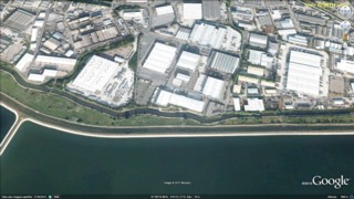
The Lee Navigation seen by Google Earth.
|
| La Lee Canalisée vue par Google Earth. |
05-05-2008
Click to enlarge - Cliquer pour agrandir |
12-10-2009
Click to enlarge - Cliquer pour agrandir |
|
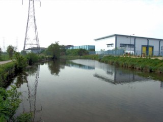
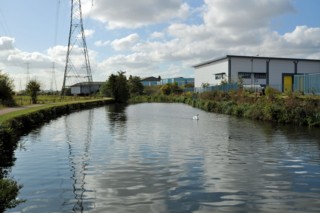
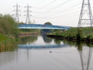
Looking to the South, the Lee Navigation to the South of King George's Reservoir Footbrige No.36A. |
Les regards portés vers le Sud, la Rivière Canalisée Lee au Sud de la Passerelle n°36A du Réservoir du Roi George. |
05-05-2008
Click to enlarge - Cliquer pour agrandir |
12-10-2009
Click to enlarge - Cliquer pour agrandir |
|
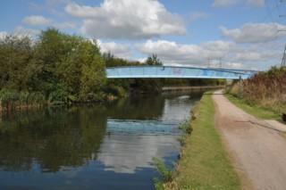
King George's Reservoir Footbrige No.36A seen from the South. |
La Passerelle n°36A du Réservoir du Roi George vue du Sud. |
Click to enlarge - Cliquer pour agrandir |
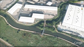
King George's Reservoir Footbrige No.36A seen by Google Earth.
|
| La Passerelle n°36A du Réservoir du Roi George vue par Google Earth. |
05-05-2008
Click to enlarge - Cliquer pour agrandir |
12-10-2009
Click to enlarge - Cliquer pour agrandir |
|
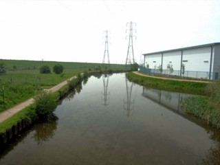
Looking to the South, the Lee Navigation seen from King George's Reservoir Footbrige No.36A. |
Les regards portés vers le Sud, la Rivière Canalisée Lee vu de la Passerelle n°36A du Réservoir du Roi George. |
|
Visitez/Bezoek/Visit
Click on the image - cliquer sur l'image |
|
Lee Navigation. |
|
|