| Croes-y-mwyalch |
 |

Click to enlarge - Cliquer pour agrandir |
Monmouthshire & Brecon Canal seen by Google Earth. |
|
Le Canal de Monmouthshire & Brecon vu par Google Earth. |
12-09-2015
Click to enlarge - Cliquer sur l'image pour agrandir |
Ash Tree Bridge No.32 seen from the South. |
|
Le Pont n°32 du Frêne vu du Sud. |
12-09-2015

Click to enlarge - Cliquer sur l'image pour agrandir |
Ash Tree Bridge No.32 seen from the North. |
|
Le Pont n°32 du Frêne vu du Nord. |

Click to enlarge - Cliquer sur l'image pour agrandir |
Ash Tree Bridge No.32 seen by Google Earth. |
|
Le Pont n°32 du Frêne vu par Google Earth. |
12-09-2015

Click to enlarge - Cliquer sur l'image pour agrandir |
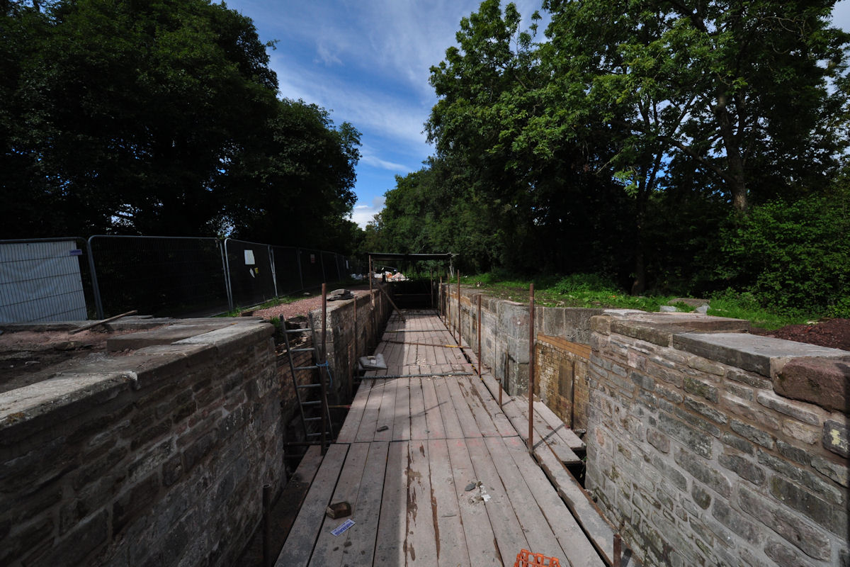
Tamplin Lock No.37 seen from the South. |
|
L'Écluse n°37 de Tamplin vue du Sud. |
12-09-2015
Click to enlarge - Cliquer sur l'image pour agrandir |
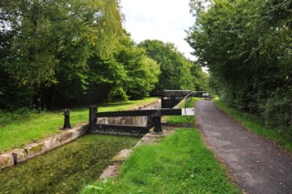
Tamplin Lock No.37 seen from the North. |
|
L'Écluse n°37 de Tamplin vue du Nord. |
Click to enlarge - Cliquer sur l'image pour agrandir |
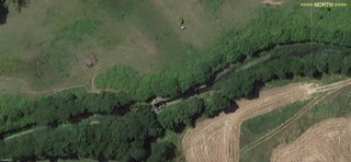
Tamplin Lock No.37 seen by Google Earth. |
|
L'Écluse n°37 de Tamplin vue par Google Earth. |
12-09-2015

Click to enlarge - Cliquer sur l'image pour agrandir |
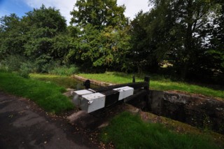
Tamplin Lock No.37 seen from the Lock Footbridge. |
|
L'Écluse n°37 de Tamplin vue de la Passerelle de l'Écluse. |
12-09-2015
Click to enlarge - Cliquer sur l'image pour agrandir |
Tamplin Lock No.37. |
|
L'Écluse n°37 de Tamplin. |

Click to enlarge - Cliquer pour agrandir |
Monmouthshire & Brecon Canal seen by Google Earth. |
|
Le Canal de Monmouthshire & Brecon vu par Google Earth. |
12-09-2015
Click to enlarge - Cliquer sur l'image pour agrandir |
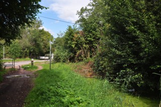
Site of Wheatsheaf Bridge No.33 seen from the South. |
|
Le site du Pont n°33 de Wheatsheaf vu du Sud. |
Click to enlarge - Cliquer sur l'image pour agrandir |
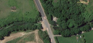
Site of Wheatsheaf Bridge No.33 seen by Google Earth. |
|
Le site du Pont n°33 de Wheatsheaf vu par Google Earth. |
12-09-2015

Click to enlarge - Cliquer sur l'image pour agrandir |
Cider Mill Bridge No.34 seen from the South. |
|
Le Pont n°34 de la Cidrerie vu du Sud. |
Click to enlarge - Cliquer sur l'image pour agrandir |
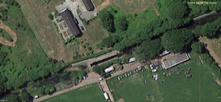
Cider Mill Lock No.38 and Cider Mill Bridge No.34 seen by Google Earth. |
|
L'Écluse n°38 de la Cidrerie et le Pont n°34 de la Cidrerie vus par Google Earth. |
12-09-2015

Click to enlarge - Cliquer sur l'image pour agrandir |
Cider Mill Lock No.38 seen from Cider Mill Bridge No.34. |
|
L'Écluse n°38 de la Cidrerie vue du Pont n°34 de la Cidrerie. |
12-09-2015

Click to enlarge - Cliquer sur l'image pour agrandir |
Cider Mill Lock No.38 seen from the North. |
|
L'Écluse n°38 de la Cidrerie vue du Nord. |
12-09-2015

Click to enlarge - Cliquer sur l'image pour agrandir |
Tredegar Bridge No.35 seen from the South. |
|
Le Pont n°35 de Tredegar vu du Sud. |

Click to enlarge - Cliquer sur l'image pour agrandir |
Tredegar Lock No.39 and Tredegar Bridge No.35 seen by Google Earth. |
|
L'Écluse n°39 de Tredegar et le Pont n°35 de Tredegar vu par Google Earth. |
12-09-2015

Click to enlarge - Cliquer sur l'image pour agrandir |
Tredegar Lock No.39 seen from the Tredegar Bridge No.35. |
|
L'Écluse n°39 de Tredegar vue du Pont n°35 de Tredegar. |
|
Visitez/Bezoek/Visit
Click on the image - cliquer sur l'image |

|
The Monmouthshire & Brecon Canal |
|
|
