| Battyeford |
 |
Click to enlarge - Cliquer pour agrandir |
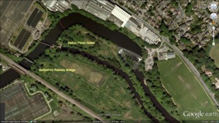
The Calder & Hebble Navigation seen by Google Earth.
|
| La Calder & Hebble Canalisée vue par Google Earth. |
14-07-2012
Click to enlarge - Cliquer sur l'image pour agrandir |
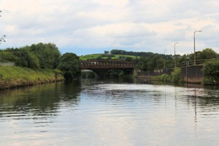
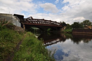
Battyeford Railway Bridge seen from the South-West.
|
| Le Pont Ferroviaire de Battyeford vu du Sud-ouest. |
14-07-2012
Click to enlarge - Cliquer sur l'image pour agrandir |
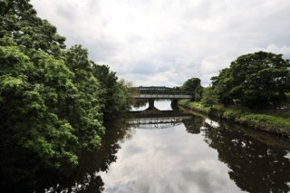
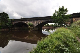
Battyeford Railway Bridge seen from the North-East.
|
| Le Pont Ferroviaire de Battyeford vu du Nord-est. |
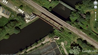
Click to enlarge - Cliquer sur l'image pour agrandir |
Battyeford Railway Bridge seen by Google Earth.
|
| Le Pont Ferroviaire de Battyeford vu par Google Earth. |
14-07-2012
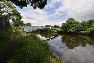
Click to enlarge - Cliquer sur l'image pour agrandir |
Battyeford Footbridge No.13 seen from the South-West.
|
| La Passerelle n°13 de Battyeford vue du Sud-ouest. |
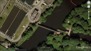
Click to enlarge - Cliquer sur l'image pour agrandir |
Battyeford Footbridge No.13 seen by Google Earth.
|
| La Passerelle n°13 de Battyeford vue par Google Earth. |
14-07-2012
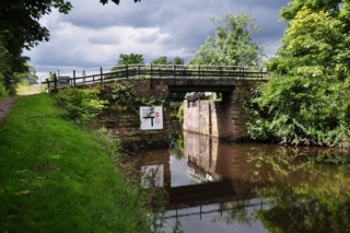
Click to enlarge - Cliquer sur l'image pour agrandir |
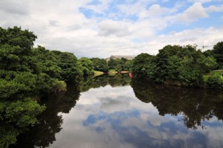
Battyeford Cut End Bridge No.14 seen from the East.
|
| Le Pont n°14 de l'Extrémité de la Coupure de Battyeford vu de l'Est. |
14-07-2012
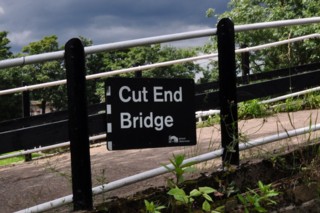
Click to enlarge - Cliquer sur l'image pour agrandir |
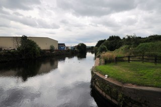
Battyeford Cut End Bridge No.14.
|
| Le Pont n°14 de l'Extrémité de la Coupure de Battyeford. |
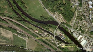
Click to enlarge - Cliquer pour agrandir |
The Calder & Hebble Navigation seen by Google Earth.
|
| La Calder & Hebble Canalisée vue par Google Earth. |
14-07-2012
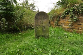
Click to enlarge - Cliquer pour agrandir |
Milestone.
|
| Borne de distance. |
14-07-2012

Click to enlarge - Cliquer sur l'image pour agrandir |
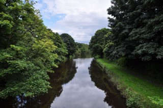
Battyeford Cut Bridge No.15 seen from the North-West.
|
| Le Pont n°15 de la Coupure de Battyeford vu du Nord-ouest. |
14-07-2012
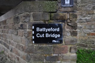
Click to enlarge - Cliquer sur l'image pour agrandir |
Battyeford Cut Bridge No.15.
|
| Le Pont n°15 de la Coupure de Battyeford. |
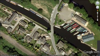
Click to enlarge - Cliquer sur l'image pour agrandir |
Battyeford Cut Bridge No.15 seen by Google Earth.
|
| Le Pont n°15 de la Coupure de Battyeford vu par Google Earth. |
14-07-2012
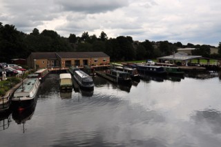
Click to enlarge - Cliquer pour agrandir |
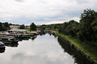
Wood Lane Marina.
|
| La Marina de la Wood Lane. |
14-07-2012
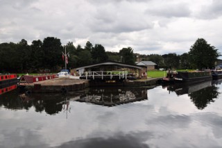
Click to enlarge - Cliquer pour agrandir |
Dry dock.
|
| Cale sèche. |
14-07-2012
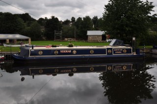
Click to enlarge - Cliquer sur l'image pour agrandir |
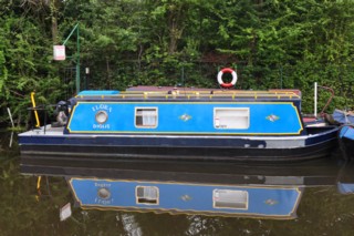
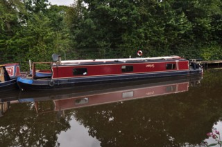
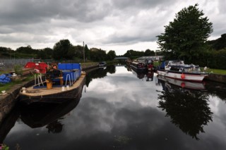
Mooring to the West of Battyeford Lock No.12.
|
| Amarrage à l'Ouest de l'Ecluse n°12 de Battyeford. |
14-07-2012
Click to enlarge - Cliquer sur l'image pour agrandir |
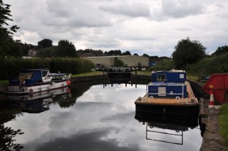
Battyeford Lock No.12 seen from the West.
|
| L'Ecluse n°12 de Battyeford vue de l'Ouest. |
Click to enlarge - Cliquer sur l'image pour agrandir |
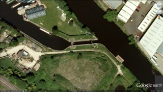
Battyeford Lock No.12 seen by Google Earth.
|
| L'Ecluse n°12 de Battyeford vue par Google Earth. |
14-07-2012
Click to enlarge - Cliquer sur l'image pour agrandir |
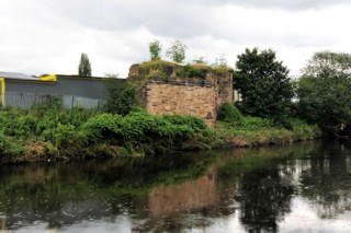
Abutment of an old railway bridge.
|
| Culée d'un ancien pont ferroviaire. |
|
Visitez/Bezoek/Visit
Click on the image - cliquer sur l'image |

|
The Calder & Hebble Navigation |
|
|
