|
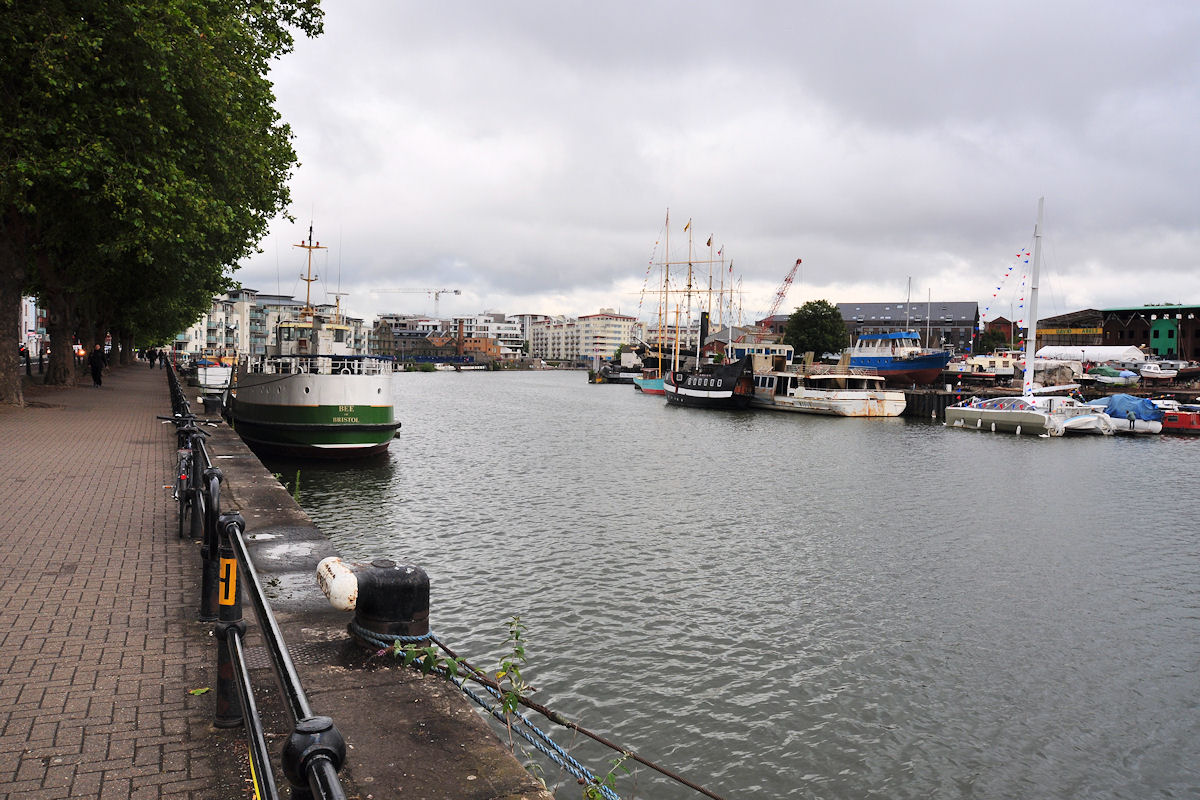
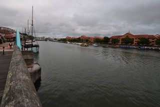
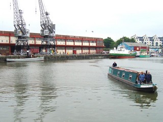
Floating Harbour Between New Junction Lock and Prince Street Bridge |
 |
Click to enlarge - Cliquer pour agrandir |
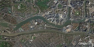
Floating Harbour seen by Google Earth.
|
| Floating Harbour vu par Google Earth. |
11-09-2005
Click to enlarge - Cliquer pour agrandir |
20-07-2015
Click to enlarge - Cliquer sur l'image pour agrandir |
|
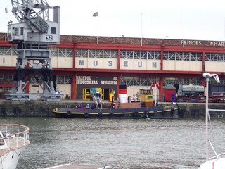
Underfall Yard seen from the North-East. |
Les Chantiers d'Underfall vus du Nord-est. |
Click to enlarge - Cliquer pour agrandir |
Underfall Yard seen by Google Earth.
|
| Les Chantiers d'Underfall vus par Google Earth. |
11-09-2005
Click to enlarge - Cliquer pour agrandir |
20-07-2015
Click to enlarge - Cliquer sur l'image pour agrandir |
|
Merchant's Dock seen from the South-East. |
Le Dock des Marchands vu du Sud-est. |
Click to enlarge - Cliquer pour agrandir |
Merchant's Dock seen by Google Earth.
|
| Le Dock des Marchands vu par Google Earth. |
20-07-2015
Click to enlarge - Cliquer sur l'image pour agrandir |
Floating Harbour seen from Merchant's Dock.
|
| Floating Harbour vu du Dock des Marchands. |
20-07-2015
Click to enlarge - Cliquer sur l'image pour agrandir |
Baltic Wharf seen from Merchant's Dock.
|
| Les Chantiers Baltiques vus du Dock des Marchands. |
11-09-2005
Click to enlarge - Cliquer pour agrandir |
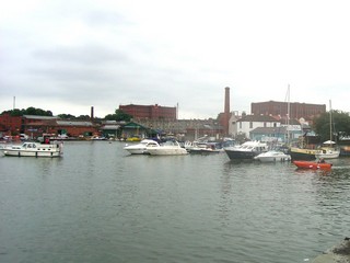
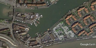
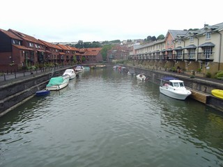
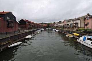
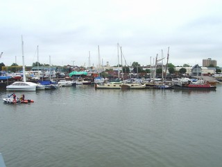
Baltic Wharf Marina seen from the North.
|
| La Marina des Chantiers Baltiques vu du nord. |
Click to enlarge - Cliquer pour agrandir |
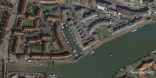
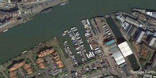
Baltic Wharf Marina seen by Google Earth.
|
| La Marina des Chantiers Baltiques vu par Google Earth. |
11-09-2005
Click to enlarge - Cliquer pour agrandir |
20-07-2015
Click to enlarge - Cliquer sur l'image pour agrandir |
|
Floating Harbour seen from the South-West. |
Floating Harbour vu du Sud-ouest. |
11-09-2005
Click to enlarge - Cliquer pour agrandir |
20-07-2015
Click to enlarge - Cliquer sur l'image pour agrandir |
|
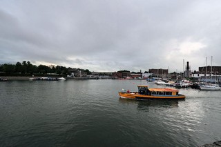
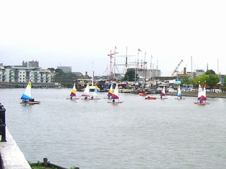
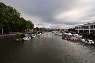
Floating Harbour seen from the East. |
Floating Harbour vu de l'Est. |
Click to enlarge - Cliquer pour agrandir |
Floating Harbour seen from the East.
|
| Floating Harbour vu de l'Est.
11-09-2005
| 
Click to enlarge - Cliquer pour agrandir
11-09-2005
| 
Click to enlarge - Cliquer pour agrandir |
11-09-2005
Click to the submenu - Cliquer pour le sous-menu |
|
|
| |
20-07-2015
Click to enlarge - Cliquer sur l'image pour agrandir |
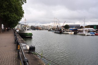
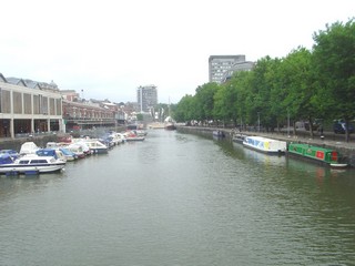
Floating Harbour seen from the West.
|
| Floating Harbour vu de l'Ouest. |
11-09-2005
Click to enlarge - Cliquer pour agrandir |
11-09-2005
Click to enlarge - Cliquer pour agrandir |
|
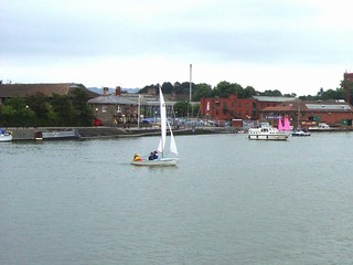
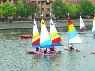
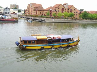
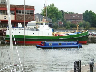
Floating Harbour, a section of the River Avon that was maintained at a constant water level to allow ships to loaded or unloaded without risk of grounding on the bottom at low tide. | Floating Harbour, une section de la rivière Avon qui est maintenu à un niveau d'eau constant afin de permettre le chargement et le déchargement des navires sans risque d'échouage au fond lors de la marée basse. |
11-09-2005
Click to enlarge - Cliquer pour agrandir |
11-09-2005
Click to enlarge - Cliquer pour agrandir |
20-07-2015
Click to enlarge - Cliquer sur l'image pour agrandir |
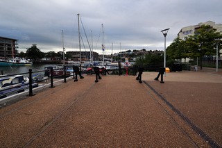
Remain of old railways.
|
| Traces d'ancienne voie de chemins de fer. |
11-09-2005
Click to enlarge - Cliquer pour agrandir |
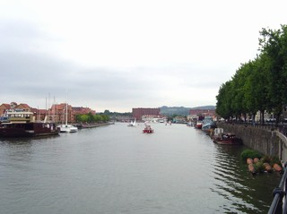
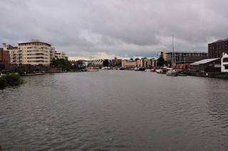
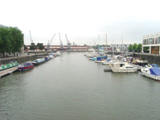
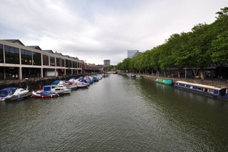
Floating Harbour seen from the East.
|
| Floating Harbour vu de l'Est.
20-07-2015
| 
Click to enlarge - Cliquer sur l'image pour agrandir
20-07-2015
| 
Click to enlarge - Cliquer sur l'image pour agrandir |
11-09-2005
Click to enlarge - Cliquer pour agrandir |
20-07-2015
Click to enlarge - Cliquer sur l'image pour agrandir |
|
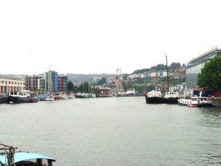
Looking to the South, St Augustine's Reach seen from Pero's Bridge. |
Les regards portés vers le Sud, St Augustine's Reach vu du Pont de Pero. |
11-09-2005
Click to enlarge - Cliquer pour agrandir |
20-07-2015
Click to enlarge - Cliquer sur l'image pour agrandir |
|
Looking to the North, St Augustine's Reach seen from Pero's Bridge. |
Les regards portés vers le Nord, St Augustine's Reach vu du Pont de Pero. |
20-07-2015
Click to enlarge - Cliquer sur l'image pour agrandir |
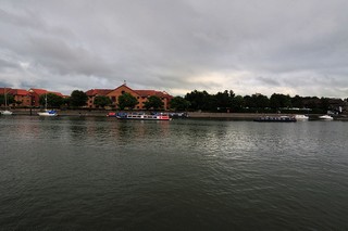
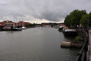
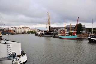
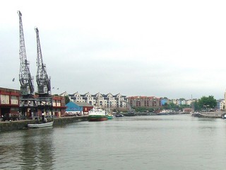
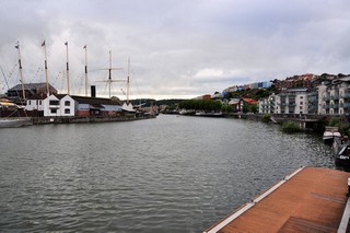
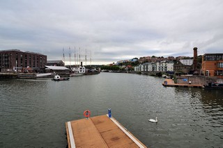
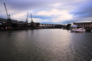
Floating Harbour seen from the North-East.
|
| Floating Harbour vu du Nord-est. |
|
Visitez/Bezoek/Visit
Click on the image - cliquer sur l'image |
|
The Kennet & Avon Canal |
|
|